
The Wingecarribee River Catchment
The Flood Study will include all flood affected land in the Wingecarribee River Catchment and its tributaries, from upstream of the Wingecarribee Dam, through the Berrima township and downstream to Wallaby Rocks. This area includes the towns of Bowral, Burradoo, Moss Vale (part), New Berrima and Berrima.
Previous study have already investigated flooding in parts of Burradoo, the Mittagong Rivulet, and Moss Vale urban release areas. This study will look at areas that have previously not been assessed, as well as updating flood modelling for the Wingecarribee River itself.

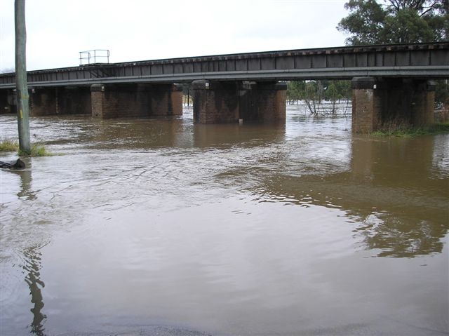
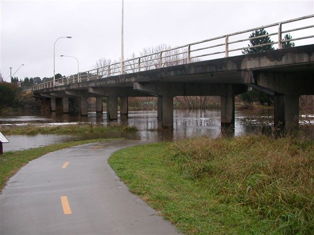
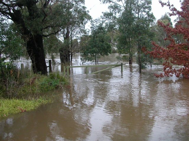
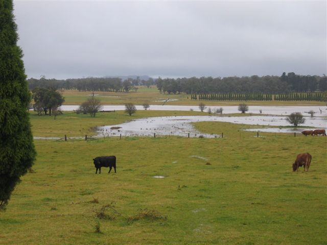
Wingecarribee River 2007